Contour Maps
The climbing days, drawn.
Elevation as contour lines, your route threading through the climb. The mountains that made the day — on the wall.
Examples
Every contour tells the story.
Click any example to open it full-size — then try it on a different card and pens in the viewer.
 Click to inspect the pen work
Mont Ventoux
Mont Ventoux in dark contours on white card, the route climbing through in red.
 Click to inspect the pen work
Western States 100
The Western States 100 in blue contours on white card, the trail picked out in red.
 Click to inspect the pen work
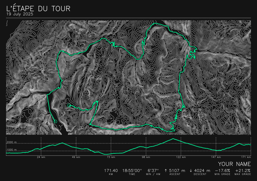
Etape du Tour
The Etape du Tour course in white contours on black card, the route threaded through in fluorescent green.
 Click to inspect the pen work
Isle of Arran
Arran's granite ridges in green contours on black card, the route threaded through in fluorescent green.
These are full-resolution vector plots. The files are large, so the artwork only downloads when you open it — then drag to pan and scroll to zoom down to the individual pen strokes.